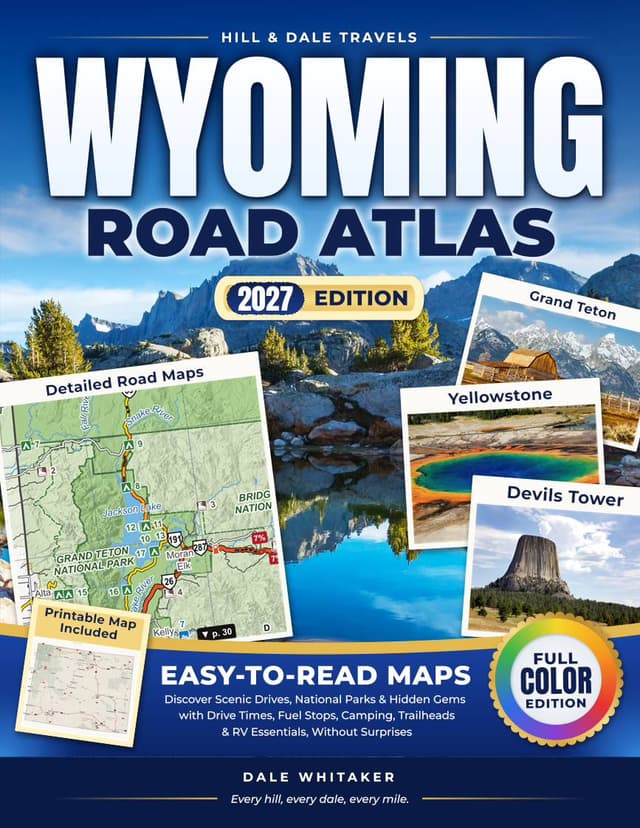
Easy-to-Read Maps to Discover Scenic Drives, National Parks & Hidden Gems with Drive Times, Fuel Stops, Camping, Trailheads & RV Essentials, Without Surprises
Your phone loses signal out here. This atlas doesn't.
Driving Wyoming in an RV or a loaded car? Not sure where the next fuel is, whether the pass is open yet, or what happens if I-80 closes for wind? Tired of "road atlases" that only show somebody else's favorite routes?
Towns are far apart here. Cell service drops out for long stretches, and a three-hour drive turns into five when traffic stops for bison. You can still take the trip you've waited years for. Just bring a map that works without a signal.
Easy-to-read road maps of the whole state
Fifteen regional maps cover every corner of Wyoming, back roads included, so when one road closes you can see the next. Yellowstone gets two pages and Grand Teton a map of its own. Each of the 12 scenic drives has its own map, and eight town maps cover Casper, Cheyenne, Cody, Gillette, Jackson, Laramie, Rock Springs–Green River and Sheridan. Every map is high-contrast and easy to read, dated with the month we checked the data.
Drive times in hours. Planning times between the main towns on the shortest year-round route, to size each day.
High wind on the interstates. The two wind-prone stretches of I-80 and I-25, in WYDOT's own terms, and when to check 511 before you go.
What's open, month by month. Historic dates for the passes and park roads, so you don't drive all day to a closed gate.
Long empty miles. The longest stretches without fuel, propane towns and rest areas with RV dumps, plus the nearest ER.
RV essentials in one place. Low bridges, steep grades, roads closed to RVs, campground length limits and dump stations.
Parks and byways with an RV in mind. RV limits, campgrounds and fuel in both parks, plus real drive times inside Yellowstone. Each scenic drive with its miles, driving time and last fuel.
A printable Trip Planner Map. The whole state on one sheet with drive times, fuel stops and the dates the passes usually open, ready to print.